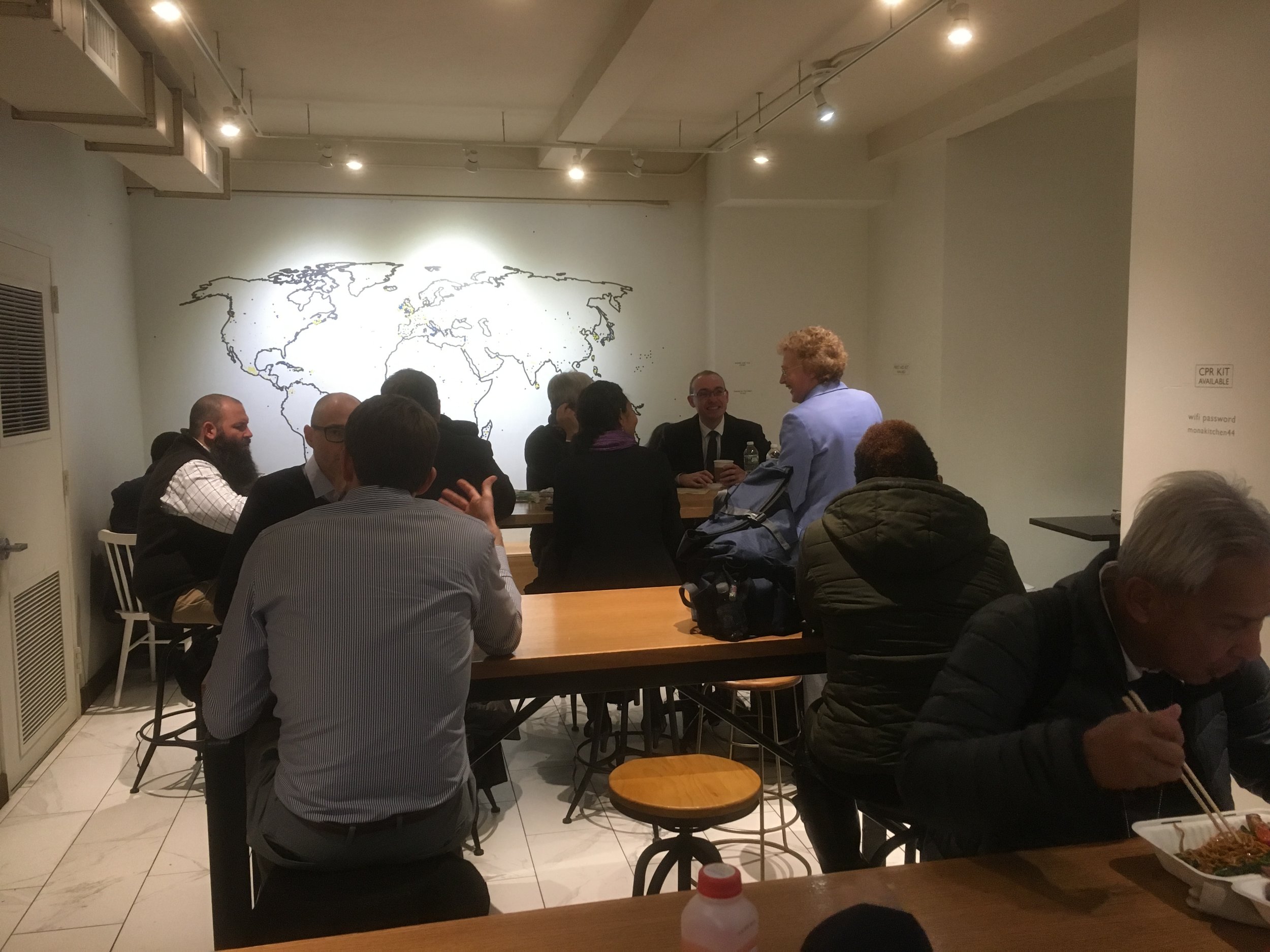
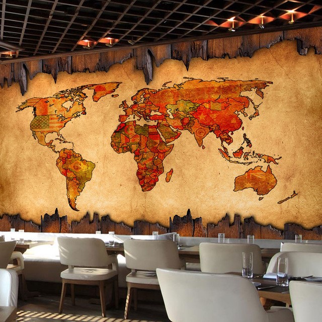
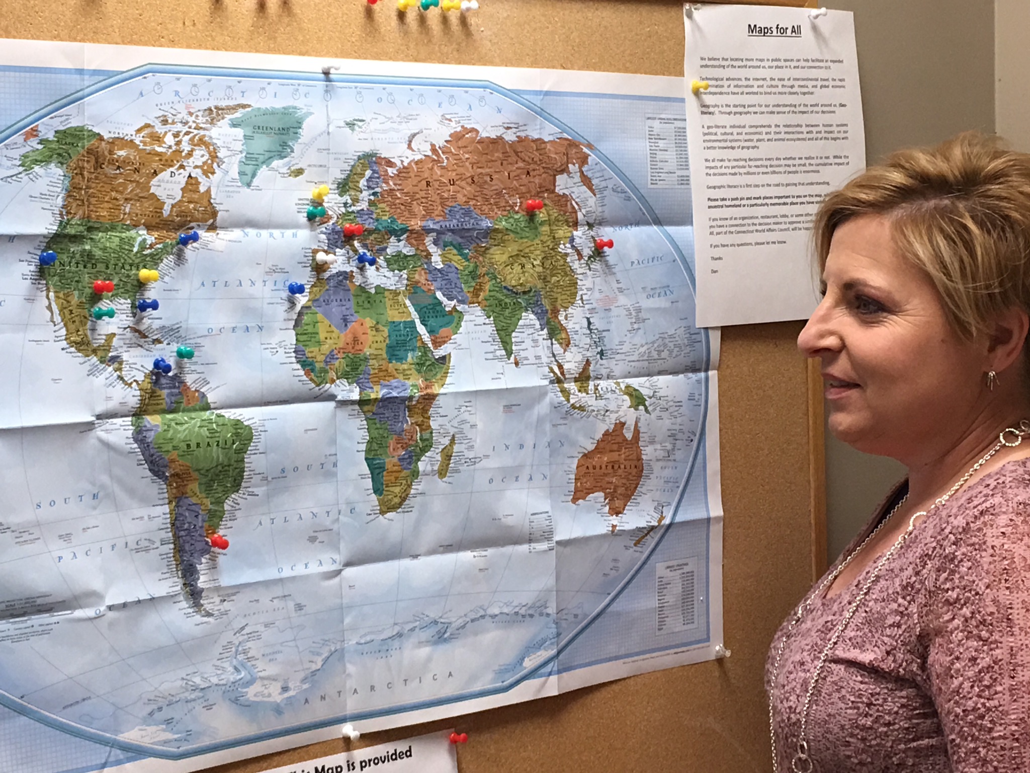
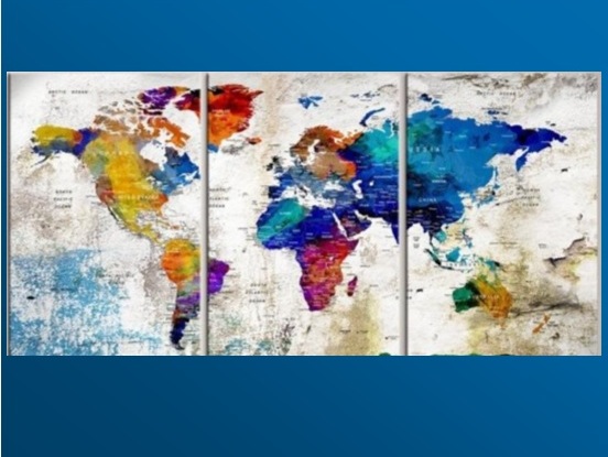
home
Maps for All builds geographic literacy in the Greater Hartford area and throughout Connecticut by collaborating with businesses, organizations, institutions and local artists in order to create an environment that reflects a growing understanding of the world through the display of world maps in public places.


“A map does not just chart, it unlocks and formulates meaning; it forms bridges between here and there, between disparate ideas that we did not know were previously connected.”

“When you live in a place, or you want to travel meaningfully, deep knowledge of the geography will help you to navigate it and to understand its culture and history.”